 |
|||||||||||||||||||||||||||||||||||||||||||||||||||||||||||||||||||||||||||||||||||||||||||||||||||||||||||||||||||||||||||||||||||||||||||||||||||||||||||||||||||||||||||||||||||||||||||||||||||||||||||||||||||||||||||||||||||||||||||||||||||||||||||||||||||||||||||||||||||||||||||||||||||||||||||||||||||||||||||||||||||||||||||||||||||||||||||||||||||||||||||||||||||||||||||||||||||||||||||||||
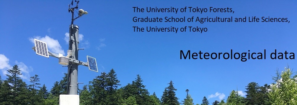
| Introduction The first record of meteorological observations was from the UTCBF in October 1904. Since then, UTF has accumulated more than 100 years of meteorological data. These long-term meteorological datasets in forested areas are invaluable for research into global warming and changing environments. In 2010, 17 weather stations were operating: four in UTCBF, two in UTHF, four in UTCF, one in UTTF, three in ERI, two in ARI, and one in FIWSC. One weather station in UTCBF, UTHF, UTCF, ERI, and ARI has been designated as Category I since 2011 (UTF, 2012). Since then, measurements of Category I have been reduced to six items: air temperature, air humidity, precipitation, solar radiation, wind velocity, and wind direction. Routine checking and data retrieval are done by a staff member at each regional forest. However, committee members of the Meteorology Division are responsible for maintenance of the equipment. For air temperature and precipitation, additional observation equipment was installed to record backup data. In cases of replacement of equipment or weather station relocation, parallel observations should be conducted for more than one year to allow for future calibration. Observation data have been published after quality checks and have been available to the public through this website since 2001. A Data paper has been published annually in one of the UTF open access journals, entitled "Miscellaneous Information, The University of Tokyo Forests". Other measurement items in the weather stations of Category I and the weather stations other than in Category I are classified as Category II, and each regional forest maintains the data by itself. Data publishing of Category II items also depends on each regional forest. However, each regional forest can seek advice for the Category II measurements from the committee members of the Meteorology Division. Original raw data are stored in three locations: at ERC, ERI, and at each regional forest. In addition, data are backed up to optical disks. Hard copies of old meteorological data are being digitized and stored at each regional forest. Some of the old data from 1989 to 2001 have been published online by the Meteorology Division. The Committee of Research Promotion, The UTF has calibrated the old daily temperature data from some of the regional forests (Kuraji et al. 2012, Tanaka et al. 2013). |
|||||||||||||||||||||||||||||||||||||||||||||||||||||||||||||||||||||||||||||||||||||||||||||||||||||||||||||||||||||||||||||||||||||||||||||||||||||||||||||||||||||||||||||||||||||||||||||||||||||||||||||||||||||||||||||||||||||||||||||||||||||||||||||||||||||||||||||||||||||||||||||||||||||||||||||||||||||||||||||||||||||||||||||||||||||||||||||||||||||||||||||||||||||||||||||||||||||||||||||||
| How to Use Use of data is limited to research and educational purposes only.We refuse to use it for other uses.When using these data, you must cite all data papers corresponding to those data. |
|||||||||||||||||||||||||||||||||||||||||||||||||||||||||||||||||||||||||||||||||||||||||||||||||||||||||||||||||||||||||||||||||||||||||||||||||||||||||||||||||||||||||||||||||||||||||||||||||||||||||||||||||||||||||||||||||||||||||||||||||||||||||||||||||||||||||||||||||||||||||||||||||||||||||||||||||||||||||||||||||||||||||||||||||||||||||||||||||||||||||||||||||||||||||||||||||||||||||||||||
| Contact us Meteorology Division, Fundamental Data Development Committee, The University of Tokyo Forests Graduate School of Agricultural and Life Sciences, The University of Tokyo 1-1-1 Yayoi, Bunkyo-ku, Tokyo 113-8657 JAPAN E-mail kishou-suimon_rep「at sign」uf.a.u-tokyo.ac.jp |
|||||||||||||||||||||||||||||||||||||||||||||||||||||||||||||||||||||||||||||||||||||||||||||||||||||||||||||||||||||||||||||||||||||||||||||||||||||||||||||||||||||||||||||||||||||||||||||||||||||||||||||||||||||||||||||||||||||||||||||||||||||||||||||||||||||||||||||||||||||||||||||||||||||||||||||||||||||||||||||||||||||||||||||||||||||||||||||||||||||||||||||||||||||||||||||||||||||||||||||||
Observation Equipment
|
|||||||||||||||||||||||||||||||||||||||||||||||||||||||||||||||||||||||||||||||||||||||||||||||||||||||||||||||||||||||||||||||||||||||||||||||||||||||||||||||||||||||||||||||||||||||||||||||||||||||||||||||||||||||||||||||||||||||||||||||||||||||||||||||||||||||||||||||||||||||||||||||||||||||||||||||||||||||||||||||||||||||||||||||||||||||||||||||||||||||||||||||||||||||||||||||||||||||||||||||
◆Monthly report of meteorological data
◆Annual report of meteorological data
| |||||||||||||||||||||||||||||||||||||||||||||||||||||||||||||||||||||||||||||||||||||||||||||||||||||||||||||||||||||||||||||||||||||||||||||||||||||||||||||||||||||||||||||||||||||||||||||||||||||||||||||||||||||||||||||||||||||||||||||||||||||||||||||||||||||||||||||||||||||||||||||||||||||||||||||||||||||||||||||||||||||||||||||||||||||||||||||||||||||||||||||||||||||||||||||||||||||||||||||||